![]()
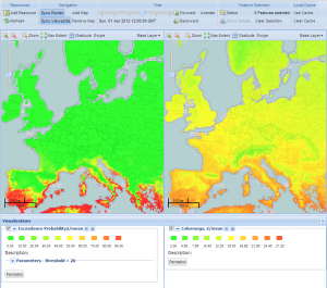
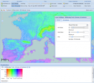
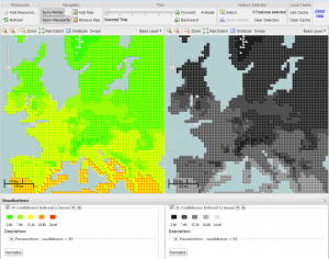
The Geostatistics community is proud to present its newest software project: Greenland. Greenland is a client-side tool to render quality-aware geospatial data. It is implemented as a JavaScript web application using OpenLayers and ExtJS, leveraging HTML5 features, such as the canvas element. It is based on work originally started within the UncertWeb project – “the visualization client” – and is now also developed further within the GeoViQua project. Therefore we decided to join efforts, move the code up in the repository to the main level, and give the software a new name (and without acronyms this time!).


