 Building Digital Bridges Across Municipalities, Research, and Technology
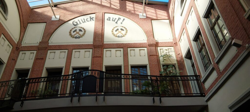
This year, the KomMonitor family came together for the 4th KomMonitor Community Day. Our host, G.I.B. NRW (Gestaltung, Innovation und Beratung in der Arbeits- und Sozialpolitik GmbH) recently opened the doors of the historic Lohnhalle in Bottrop for the event. G.I.B. NRW has intensively supported the KomMonitor family for many years, whether introducing the software in North Rhine-Westphalian social planning, offering regular consultation hours, or providing digital self-learning courses. Where miners once collected their paychecks, local leaders and developers recently gathered to shape the digital, data-driven future of smart cities. The historic venue provided a fitting backdrop for an impactful Community Day filled with cross-city networking, deep dives into new platform features, and hands-on afternoon workshops dedicated to upcoming updates and joint innovation.