There have been many packages in R developed for handling trajectory data, however each package is limited to a specific domain and does not provide functionality for general purpose trajectory analysis and visualization. This Google Summer of Code 2020 project aims to generalize trajectory analysis and visualization by creating a package named traviz.
My project is officially titled “Trajectory Analytics Toolbox”. I will be creating a general-purpose trajectory analytics toolbox in R. The end goal is to submit the package to CRAN and create a community of researchers that use this package for trajectory analytics. This toolbox will perform the following on trajectory data:
- Analysis of trajectory data: The toolbox will provide functionality for finding trajectory intersections in a desired area and finding similar trajectories based off length and location.
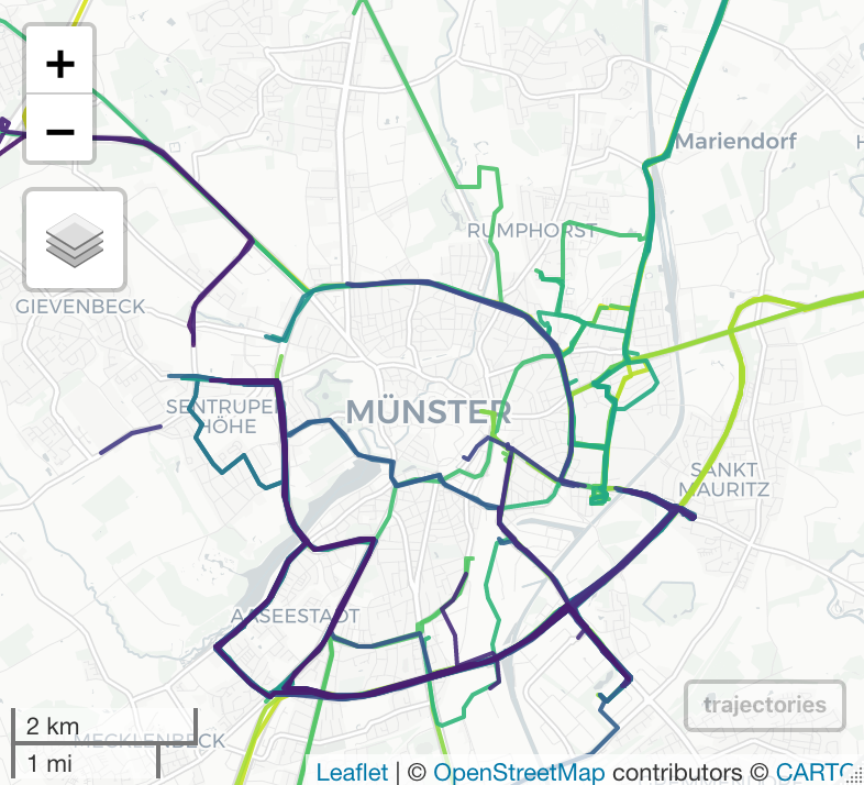
- Visualization of trajectory data: The toolbox will provide methods to meaningfully visualize trajectory data. This includes space-time cubes, projections, and animations. Visualizations of trajectory points of intersections and similar trajectories will also be given. One of the methods will also provide heat-map visualization and trajectory clustering using the DBSCAN algorithm. Clusters can be categorized based on density of trajectories, density of intersections, and speeds of trajectories. This will be used to determine trajectory hotspots in a desired aggregation level.
- Aggregation and subsetting of trajectory data: The toolbox will be able to aggregate data on pixels, edges, and regions. This method will take in ROI/POI/raster in sp/sf format as an input. The toolbox will subset trajectories in multiple ways including a bounding box or existing geographical/municipal bounds.


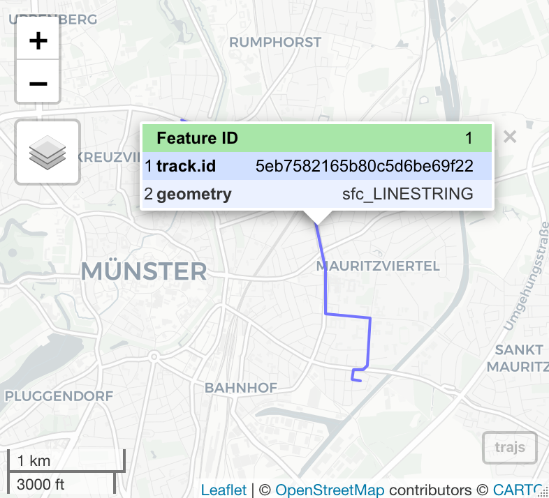
This project will be using the existing R package trajectories and will be adding sf and sftime support. It will add the features mentioned above and use the Track data structure. To demonstrate functionality of the toolbox and perform tests on the package, enviroCar data will be used. In order to collect enviroCar data, the envirocar-py package will be used.
About me:
My name is John Murzaku and I am a rising senior at Seton Hall University in South Orange, New Jersey studying mathematics and computer science. My interests are spatial statistics, geospatial and biological data visualization, and smart cities. The project progress can be seen on my wiki and on my GitHub. I will be mentored by Dr. Benedikt Gräler (52°North) during the duration of this project.
Leave a Reply