52°North’s contribution to the OGC Disaster Pilot 2023
Climate change is increasing the likelihood of natural disasters and their severe environmental and social consequences worldwide. This is why preparedness for such events is becoming increasingly important. The objective of the Open Geospatial Consortium’s Disaster Pilot 2023 [1] was to provide first responders and decision makers with tools to enable them to better prepare for and respond to hazardous situations. The availability of decision-ready data was addressed as a key element of preparedness.
52°North has contributed to the pilot by developing a workflow for measuring the impact of drought periods on crop growth (referred to as deliverable D102). Recent drought periods in the study region of Manitoba, Canada have caused significant reductions in major crop yields and associated financial losses. In this context, the availability of comprehensive forecast data on teh effects of drought can help responsible personnel to better adapt to challenging environmental conditions, e.g., by adjusting irrigation schedules or cultivating more resistant crop varieties.
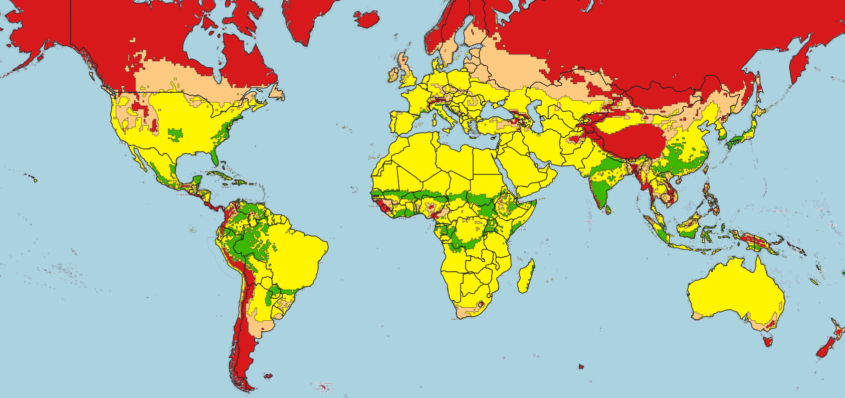
With this in mind, 52°North has developed a framework that provides crop suitability maps as a service for the Manitoba study area. Crop suitability maps summarize information on whether the environmental conditions (i.e. variables such as temperature and precipitation) in a particular region meet the long-term requirements for crop production. Geographical areas are highlighted according to the suitability of the environmental conditions for crop growth. For this project, five categories of decreasing suitability were considered – optimal, suitable, marginal, unsuitable, and pessimal. An example crop suitability map that has been obtained from the framework for maize in August 2023 can be seen in the figure below.

The suitability maps are obtained from a simple model that has been implemented as described in [2]. This model compares the forecast data for precipitation and temperature for the upcoming month with the plant requirements. The forecasts for precipitation and temperature were obtained from the Global Ensemble Prediction System [4] of the Meteorological Services of Canada while the plant requirements are taken from the ECOPROP database [5] of the Food and Agriculture Organization of the United Nations.
The implementation follows the well-established OGC standards by implementing an OGC API Process. In addition, the framework is implemented using only open source components so that the final product is open source. Maps can be provided as a GeoJSON file, where regions of similar suitability derived from rasterized input data are combined into polygons, or as a netCDF file, where the different categories are stored as separate variables. These output formats can easily be displayed by using tools such as QGIS or geojson.io. Results can be requested for a particular bounding box or for a coordinate pair.
Overall, the participation in the Disaster Pilot was a great opportunity to network with disaster management professionals from all over the world. The project also provided valuable input to the EU-funded I-CISK and DIRECTED projects in which 52°North is participating.
[1] OGC Disaster Pilot, https://www.ogc.org/initiatives/ogcdp23/
[2] B.G. Peter et al., “Crop climate suitability mapping on the cloud: a geovisualization application for sustainable agriculture”, Sci Rep 10 (2020)
[4] Global Ensemble Prediction System of the Meteorological Service of Canada, https://eccc-msc.github.io/open-data/msc-data/nwp_geps/readme_geps_en/#changelog, accessed on 15.09.23
[5] ECOCROP database, https://gaez.fao.org/pages/ecocrop
Leave a Reply