Understanding User Needs and Data Potential
At 52°North, our Spatial Data Science projects begin with a deep dive into the specific information requirements, operational contexts and specific domains of the intended end users. This involves identifying the key questions that the information product must answer and the decisions it will support. We then conduct a thorough investigation of available data sources, assessing their quality, relevance, and potential to generate the desired insights in a sufficient and actionable quality.
Data Analysis and Modeling across application domains
Our data analysis expertise covers a wide range of techniques, including spatial and spatiotemporal interpolation of point data, analysis of time series data, and identification and quantification of extreme values in both univariate and multivariate settings (including compound events). We leverage machine learning approaches, such as Random Forests and Neural Networks, for regression and classification tasks, and utilize pre-trained models for Earth Observation data classification. The tools can be used in a variety of areas, including
- Water and hydropower management: This could involve using spatial data to monitor water resources, predict droughts or floods, and optimize hydropower production.
- Agriculture: Spatial data science can be used to analyze soil conditions, monitor crop growth, and predict yields. The resulting information can be used to improve farming practices and increase productivity.
- Road and marine traffic: This could entail the use of spatial data science to analyze traffic patterns, identify congestion hotspots, and optimize transportation routes. Information can be used to improve traffic flow and reduce congestion. It also supports voyage optimization for vessels ranging from traditional internal combustion engines to modern hybrid and green propulsion systems.
- Climate change adaptation: Spatial data science can be used to analyze the impacts of climate change, identify vulnerable areas, and develop mitigation measures and adaptation strategies. Decision-ready information helps protect communities, economies and ecosystems from the effects of climate change.
- Disaster risk management: Spatial data science can be used to analyze disaster risks, identify vulnerable areas, and develop preparedness and response plans. This information can be used to reduce the impact of disasters and save lives.
Spatial and Spatiotemporal Interpolation
Our expertise extends to spatial and spatiotemporal interpolation of point data, enabling us to estimate values at unsampled locations and times. This is crucial for creating continuous surfaces from discrete data points and understanding how phenomena vary across space and time. Applying spatiotemporal interpolation enables the exploitation of interactions among spatially and temporally distant points of observations. These approaches can also successfully be applied to fill gaps in spatiotemporal data sets.
Machine Learning for spatial and spatiotemporal data
Within our data analysis toolkit, we harness the power of machine learning algorithms to extract valuable insights and predictive capabilities. Techniques such as Random Forests and Neural Networks are used for both regression and classification tasks, allowing us to model complex relationships and patterns within data. In addition, we use pre-trained models specifically designed for Earth Observation data classification to streamline the analysis of satellite imagery and remote sensing data.
Extreme Value Statistics of time series data
52°North has particular expertise in extreme value statistics, which allows us to identify and quantify rare and extreme events in environmental data. This is crucial for applications such as risk assessment and disaster management, where understanding the likelihood and potential impact of extreme events is essential. This also extends to the analysis of heavily skewed spatial data.
Operationalization and Visualization
Our spatial data science team works closely with our processing team to develop and implement efficient and scalable analytics pipelines. These pipelines can be deployed as user-friendly processing services, automating routine and repetitive operations. We also recognize the critical importance of visualization in conveying the results of spatial data analysis. We interact directly with end users to develop customized visualizations that effectively communicate insights and directly support decision making in the context of the user’s daily business.
Value of Information Products
The true value of an information product lies in its ability to empower users to make better-informed decisions about real-world problems. At 52°North, we are committed to delivering spatial data science solutions that not only generate valuable insights, but also present them in a way that is accessible, understandable, and actionable for the specific users in their everyday environment. Our expertise in understanding user needs, analyzing diverse data sources, and developing tailored spatial data science solutions ensures that our clients derive maximum value from their spatial and spatiotemporal data.
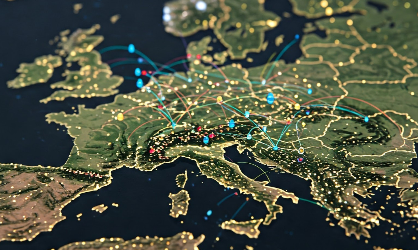
Image Source: Generated by Gemini, a large language model from Google, to visualize spatial data science.
Leave a Reply