A Hands-On Approach to Urban Planning
It is the beginning of July 2025 and midsummer in central Europe. Heat has a firm grip on many European cities. The exceptional heat shows that cooling spaces and infrastructure are becoming increasingly important. Making cities climate resilient is a critical task in urban planning. Fortunately, KomMonitor, an open source platform, provides urban planners with suitable monitoring tools to support them in this task. So why not attend the relaunched AGIT Conference and give a refreshing hands-on workshop for KomMonitor?
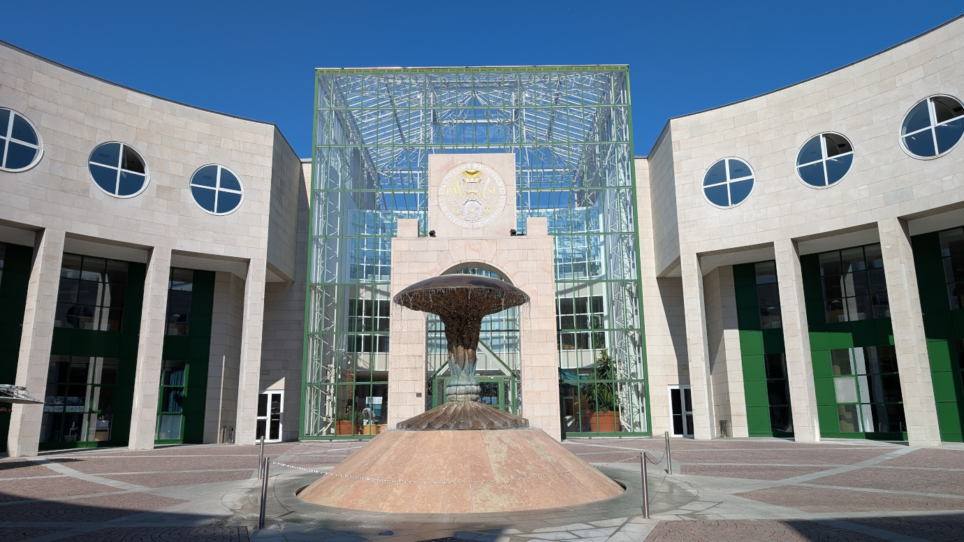
AGIT 2025: Shaping Geospatial Futures in Salzburg
You said relaunched AGIT conference? Yes, the AGIT conference in Salzburg has a long tradition in the Geo-IT domain. For several years, it was held annually as a user forum for Geoinformatics, bringing together leading researchers, industry innovators, and practitioners. After a short pause during the Corona pandemic, the AGIT spent some years of reorganizing and just opened its doors with a revised concept that aims to “renew the AGIT spirit” of the past years. The event organizer was the Department of Geoinformatics (Z_GIS) at Paris Lodron University Salzburg, which is part of the Faculty of Digital and Analytical Sciences. Under the theme “Shaping Geospatial Futures,” the event explored the latest advancements and applications in geoinformatics and geospatial technologies in an interactive conference format. This included short paper sessions, workshops and poster presentations – a good place to showcase the capabilities of KomMonitor, an open-source platform for data-driven urban development.
KomMonitor Workshop
52°North and the Department of Geodesy of the Bochum University of Applied Sciences set off to organize a 75-minute, interactive workshop at a hot AGIT 2025. The goal was to provide municipal planners, GIS professionals, and academics a practical introduction to the software’s potential. We used a practical use case on the reduction of heat stress in urban areas. Fitting the workshop’s motto, there were other strategies to prevent heat stress during the conference. The amazing UNIGIS guys provided yummy ice cream in the coffee breaks, while Deutsche Bahn allowed us to enjoy the cooling air conditioning a little bit longer than expected during our travels to Salzburg and back. In contrast, the main topic of the workshop was how KomMonitor can contribute to the development of climate-resilient and age-appropriate urban structures. We analyzed heat exposure, the distribution of vulnerable population groups, and the accessibility of green spaces and drinking water infrastructure in an interactive format.
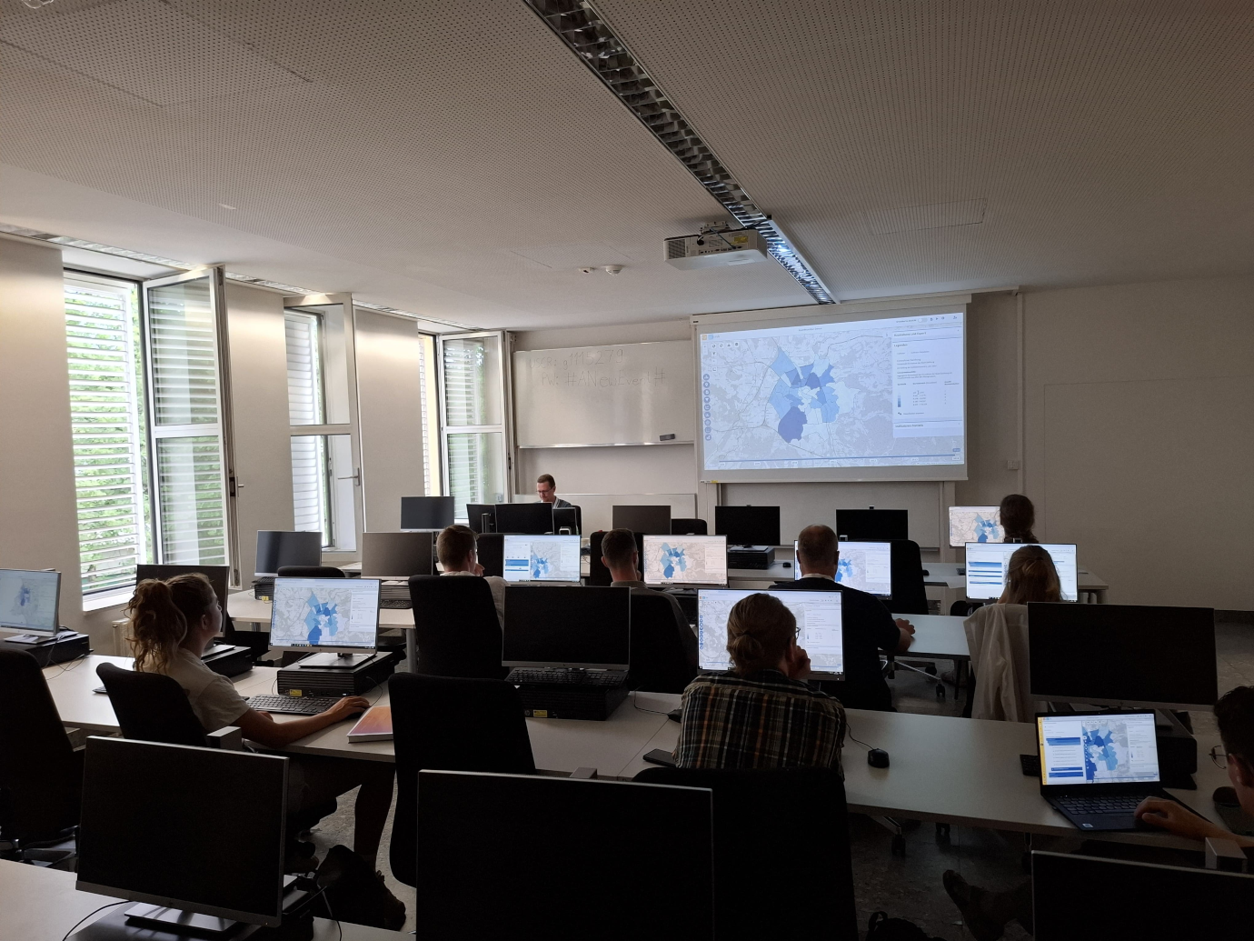
The workshop began with a brief introduction to KomMonitor’s core principles, architecture, and its applications in municipal processes. An interactive poll revealed a diverse audience from fields, such as geoinformatics, urban planning, and public administration. Notably, 86% of attendees had no prior experience with KomMonitor, which underscored the need for a detailed introduction. Participants were given access to a demo version of the platform to explore its features firsthand.
Real-World Application: Climate-Resilient and Age-Friendly Cities
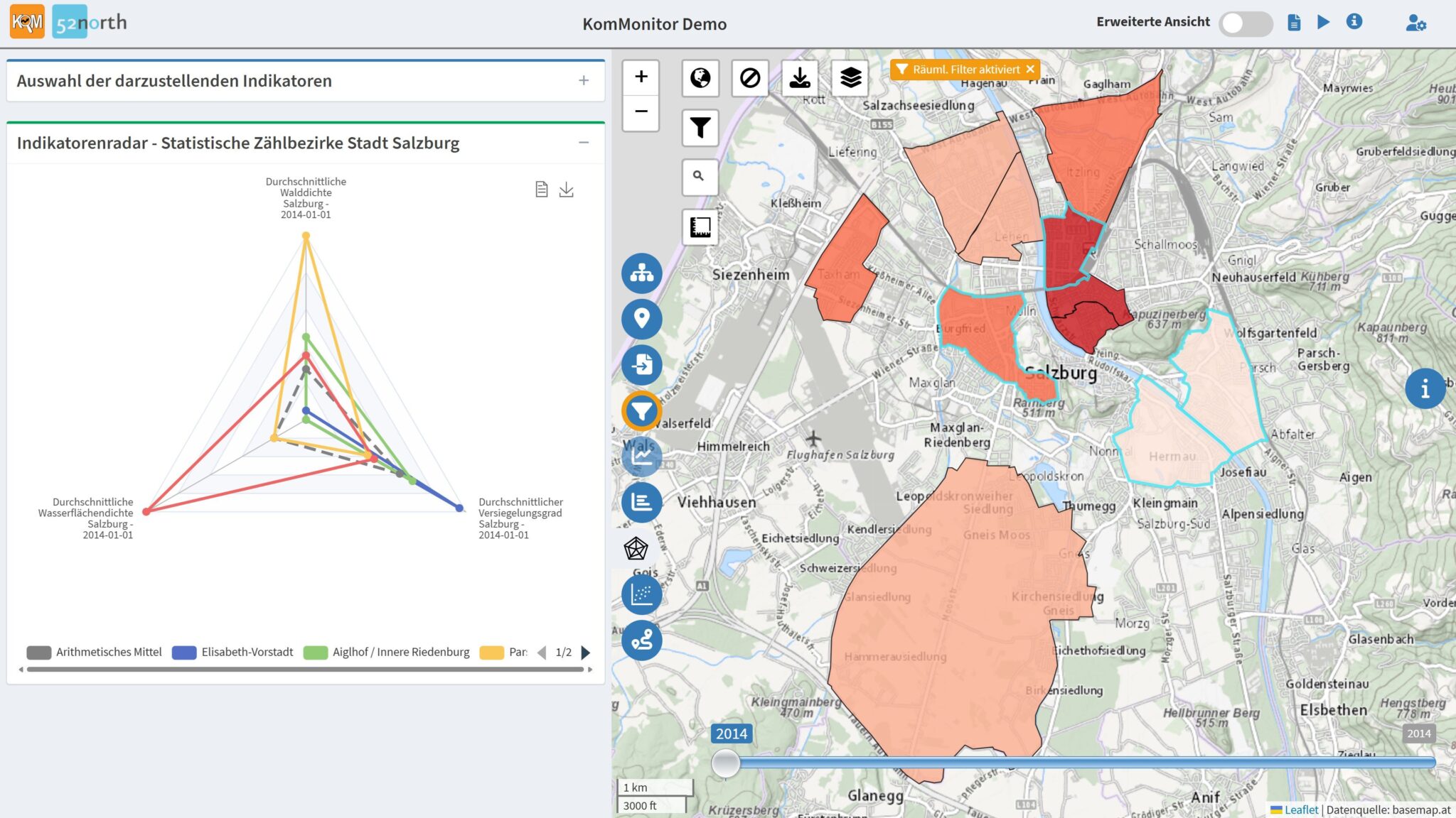
The core of the workshop was a practical use case focused on the city of Salzburg. The scenario aimed to analyze and improve the well-being of vulnerable populations, specifically the elderly, in areas affected by heat stress. This involved a three-step analysis
- Identifying Vulnerable Populations: The first step focused on locating areas with a high concentration of residents over 80 years old, who served as a proxy for a vulnerable population group.
- Assessing Heat Stress: The workshop then identified urban districts most affected by heat. This was achieved by analyzing environmental factors like sealed surfaces (stressor) versus cooling resources such as forests, water bodies, and green spaces. A multi-factor heat-stress indicator was calculated to compare the relative burden on different city districts.
- Analyzing Accessibility to Cooling Infrastructure: In the final step, the analysis zoomed into the most heat-stressed areas with large elderly populations. Using the integrated openrouteservice tool, the workshop examined the walkable accessibility of public drinking fountains. A 5-minute walking distance was considered reasonable for the target group. The results showed good coverage in the city center but revealed significant gaps in peripheral districts, indicating areas where new fountains could be strategically placed.
Key Takeaways and Future Outlook
The workshop ended with a concluding discussion, which highlighted some pain points and ideas regarding future use cases for KomMonitor. The audience expressed significant interest in integrating AI-powered features into KomMonitor, such as a data assistant that suggests relevant datasets for specific planning questions. Participants also stressed the importance of ensuring the transparency and critical oversight of AI-driven analyses to prevent misinterpretations. A major challenge identified was the inconsistent availability of open data across different regions. This can limit the effectiveness of digital planning tools in less-developed areas. There was also a strong call for more analysis-ready climate and environmental indicators that can be linked with socio-demographic data.
The overwhelmingly positive feedback affirmed the workshop’s value and the interest in more in-depth, hands-on sessions in the future. The continuous development of KomMonitor will incorporate the insights gained, with potential for future collaborations and similar workshops.
If you would like to learn more about KomMonitor, have your own development ideas and would like to discuss them with the KomMonitor developers, or simply want to network with other municipal users, you are cordially invited to the KomMonitor Community Day 2025 on September 11, 2025 in Herne. Register now to save your space!
Leave a Reply