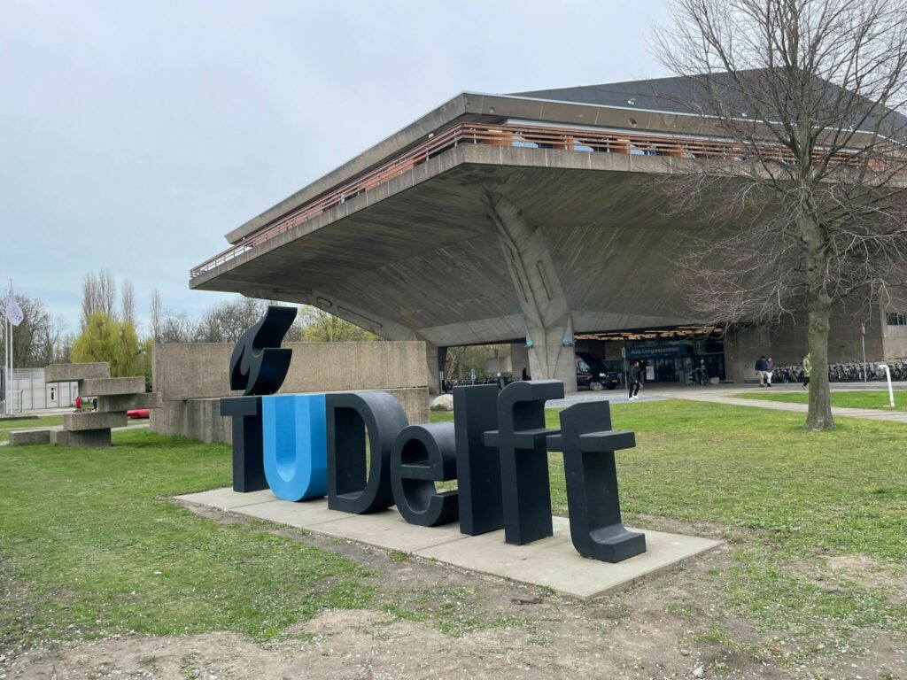
The week before Easter, I traveled to Delft, the Netherlands, to participate in the Open Geospatial Consortium (OGC) 128th Member Meeting. The meeting, hosted by TU Delft, set all-time records for in-person attendance!

The overarching theme of the meeting was GeoBIM (Building Information Model). I was there in the context of the DIRECTED project to present an update regarding my standardization activies and to exchange ideas with colleagues from the Disaster and Emergency Management community. Another hot topic was Data Spaces.
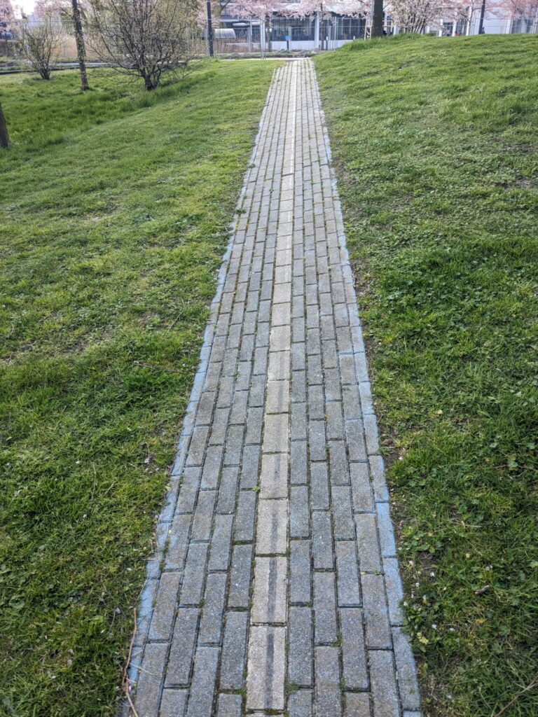
First thing Monday morning, I ran into my colleague Nils Brinckmann, with whom I worked in the RIESGOS project. That was a nice surprise and we had some coffee breaks and lunch breaks together. I then attended the Opening Session. Our company was mentioned! The 52nd latitude runs through Delft and the nearby the auditorium! There is even a line on the ground showing that latitude!

The DGGS DWG session followed the Opening Session. I then brought my lunch to the DWG & SWG Chair – Chat & Chew. In the SensorThings API SWG, the next version of the API was outlined and a prospective candidate for this year’s GSoC at 52°North held a presentation. I met colleagues from the Compliance Interoperability & Testing Evaluation (CITE) team. Fruitful discussions about out CITE work ensued over the next few days. In the evening, there was an ice breaker event at the Vakwerkhuis.
Tuesday started with the session Todays Innovations, Tomorrows Technologies, Future Directions, where a new approach to the FAIR (Findable, Accessible, Interoperable and Resusable) principle was presented and an overview of ongoing OGC initiatives and projects was given. Afterwards, the OGC Europe Forum 2024 gave some interesting insights into how OGC and its partners are approaching the topic of Data Spaces. After some good discussions during lunch, I returned to the hotel to get some work done. I also managed to take a walk through the city center and watch the soccer game Germany vs. the Netherlands.
Wednesday, I was in the OGC API SWGs track all day. In the morning, I chaired the OGC API – Processes session. We (rather spontaneuosly) got double the time for our session, but managed to fill it with interesting topics. I was able to get updates and have a number of discussions throughout the day. In the late afernoon, I switched to the Climate Resilience – EDM DWG session, which was packed with interesting presentations, e.g. about Landslides in Taiwan and Smart Sensing of Fires using Sentinel-3 Data. At 6:30 pm., Scott Simmons shooed us out so that we would reach the bus to the meeting dinner at the Museum Prinsenhof (“once the home of prince Willem of Orange, Pater Patriae of the Netherlands”). We had a nice meal, a few beers and good talks! My colleague Jérôme St-Louis received the OGC Community Award!
On Thursday morning, I shared my experience with interoperability issues when using spatial data in the DIS4SME session. I focused on interoperability issues you may face when using spatial data processing services. After the session I had a nice chat with Dr. Azarakhsh Rafiee from TU Delft. Thanks again for the coffee! I then attended the first part of the closing plenary session before it was time to say goodbye to my colleagues.
Once again, it was a great meeting with a packed agenda, interesting presentations, and good discussions during sessions, breaks, and even over a beer. I highly recommend attending an OGC Member Meeting to anyone interested in geospatial!
Leave a Reply