Vienna! Known for its outstanding beauty, its distinct culture, and the EGU General Assembly. Well, ok, EGU is probably only in the minds of people with a geoscience background, because EGU is the European Geosciences Union, and the General Assembly is the annual conference full of oral talks and poster presentations. The conference is not just big, it is huge. This year (April 23 – 28, 2023), more than 17,000 people from research and industry gathered in Vienna to disseminate their findings, network with familiar and unfamiliar faces, and listen to presentations covering all disciplines in earth sciences. This makes the conference one of the few opportunities to reach such a diverse audience and get feedback or inspiration from many different experts.
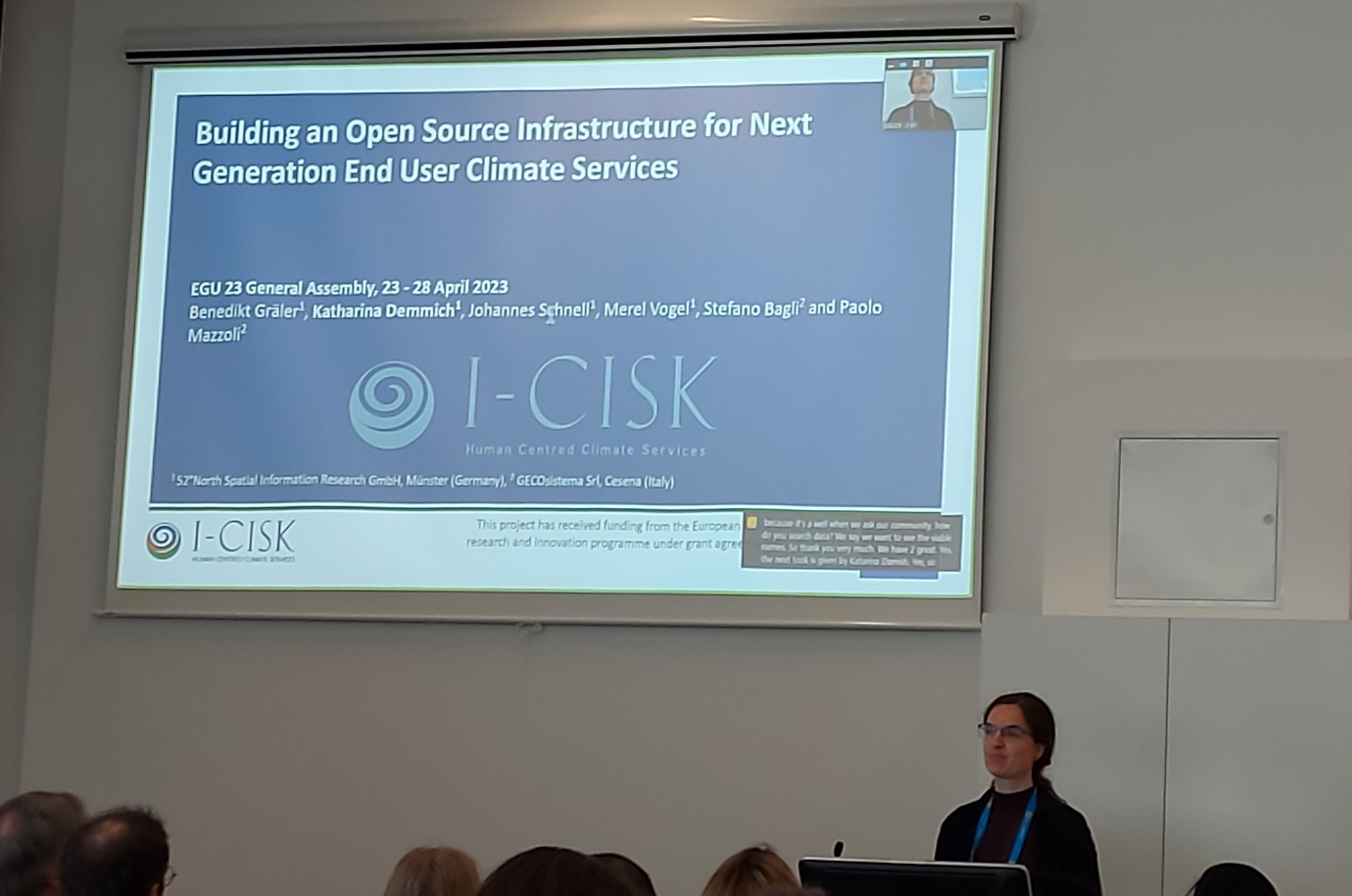
So, how can such a conference be complete without 52°North? Short answer: It can’t! For this reason, 52°North’s research software engineers Katharina Demmich and Markus Konkol headed south to talk about research data infrastructures in the context of the I-CISK project, harmonized sharing of ocean observing data, and communicating data quality through open reproducible research in the context of the MINKE project.

