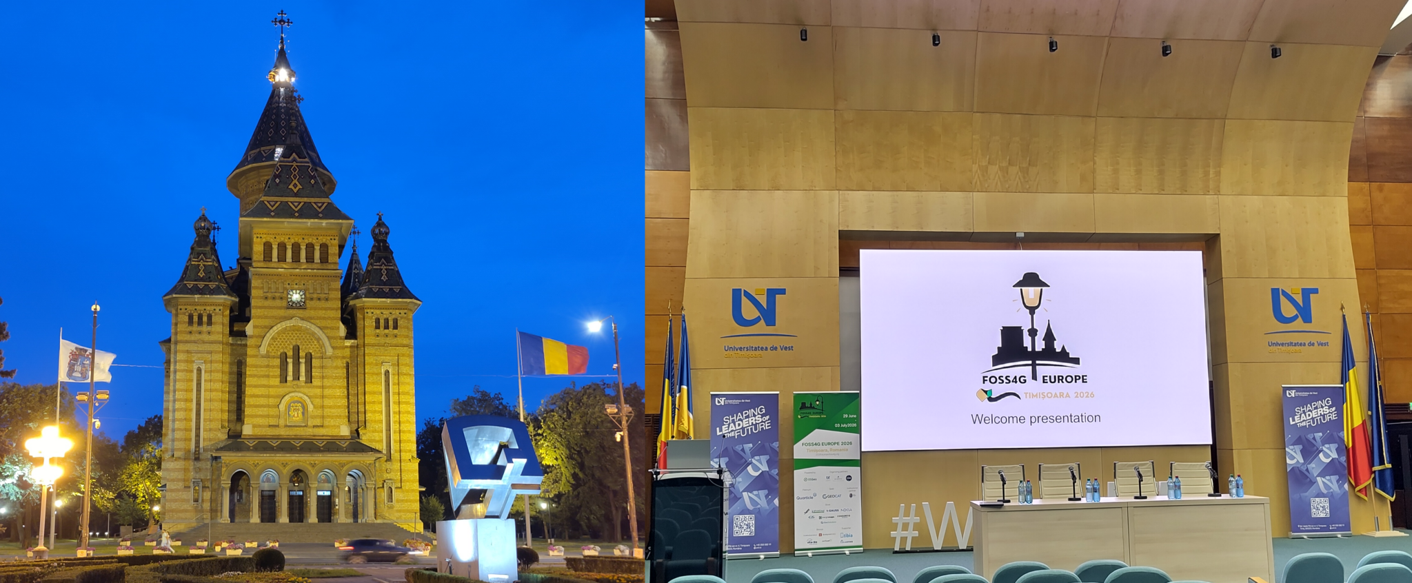
This year’s FOSS4G Europe took me to Timișoara, the largest city in western Romania. The event was hosted by the West University of Timișoara (Universitatea de Vest din Timișoara).
I travelled there for 52°North to listen, to talk to people, and to present “Optimizing Resource Usage of Interoperable Geospatial Processing Infrastructures with Kubernetes.”
More on that below. The journey took me from the heat dome in Germany to the heat dome in Romania.But now, let’s set the scene.
more >

Public release of Deliverable D5.2: Climate Data and Front and Back‐End Components of the I‐CISK Climate Service Platform

Bridging the Gap: I-CISK Platform Connects Climate Science with Local Needs
The I-CISK project is developing a cutting-edge, cloud-based platform to make climate data and services more accessible and relevant to local communities. This initiative aims to bridge the gap between complex scientific information and the practical needs of stakeholders across various sectors, from agriculture to tourism.
What is I-CISK?
I-CISK, which stands for “Innovating Climate services through Integrating Scientific and local Knowledge,” is a project funded by the European Union’s Horizon 2020 program. It focuses on creating an online platform that integrates scientific climate data with local knowledge, providing tailored climate services (CS) to Living Labs in various regions across Europe and beyond.
DevOps and Geospatial Technologies – My Internship @ 52°North
Hello everyone! My name is Ludovic, and I am excited to share my internship experience at 52°North. Over three months, I had the incredible opportunity to dive deep into geospatial innovation, tackle exciting challenges, and grow both professionally and personally. I come from Mbouda, a city in the West region of Cameroon, which is uniquely situated near the majestic Mount Bamboutos (2,740 metres high). This iconic mountain, rich in biodiversity and cultural heritage, is a natural treasure. Growing up in such a place has deeply inspired my passion for geography and geospatial technologies.

GeoNode and Kubernetes – a good match?

A closer look at the flexibility and scalability of a GeoNode deployment using Kubernetes and related Cloud concepts.
Mid-2020, we started a project with Fraym – a data science company working with manifold types of datasets to execute projects in countries that are undergoing substantial societal change places around the world where data has been traditionally hard to access. Spatial data, ranging from base data such as administrative boundaries to Earth Observation and satellite data, play an important role. The majority of the datasets will be reused in other project contexts, thus a solution for the management and discovery of spatial and non-spatial datasets is inevitable for the effective execution of data analysis processes. In close cooperation with the experts at Fraym, we developed a data platform based on the GeoNode software stack. The challenges here were a set of requirements:
- Flexibility: supporting the different dataset types such as raster, vector and tabular data
- Scalability: accommodating the large amount and variety of data (multiple terabytes, tens of thousands of more than 100k individual datasets)
- Availability: taking uptime into account (e.g. on-demand bootstrapping vs 24/7 operations)
- Processability: promoting processing functionality close to the data.
In this blogpost, we take a closer look at the first two aspects: flexibility and scalability. We look into the details of our deployment concept using Kubernetes on Amazon Web Services (AWS) and other related cloud concepts.
