 I am James Ondieki, originally from Nairobi, Kenya. I obtained my bachelor’s degree in Geomatic Engineering and Geospatial Information Systems from Jomo Kenyatta University of Agriculture and Technology in 2019. After working as a geospatial web developer, I realized the need to deepen my analytical skills to extract more insights from large geospatial datasets. This motivation led me to pursue a master’s in Geoinformatics and Spatial Data Science at the Institute for Geoinformatics (IFGI) in Münster, Germany.
Cloud native OGC SensorThings API
Hello all,
I welcome you all to the introductory blog post on my Google Summer of Code‘s project that I will be working on over the next few weeks. Before I begin, a bit of an introduction about me 🙂
I am a graduate student at the University of Calgary (Yes, I get to see the Canadian Rockies from my window!). I am pursuing my Master’s degree in Geomatics Engineering and working towards revising and improving the Open Geospatial Consortium’s (OGC) SensorThings API standard for my thesis.
Attending the 128th OGC Member Meeting in Delft, the Netherlands
The week before Easter, I traveled to Delft, the Netherlands, to participate in the Open Geospatial Consortium (OGC) 128th Member Meeting. The meeting, hosted by TU Delft, set all-time records for in-person attendance!
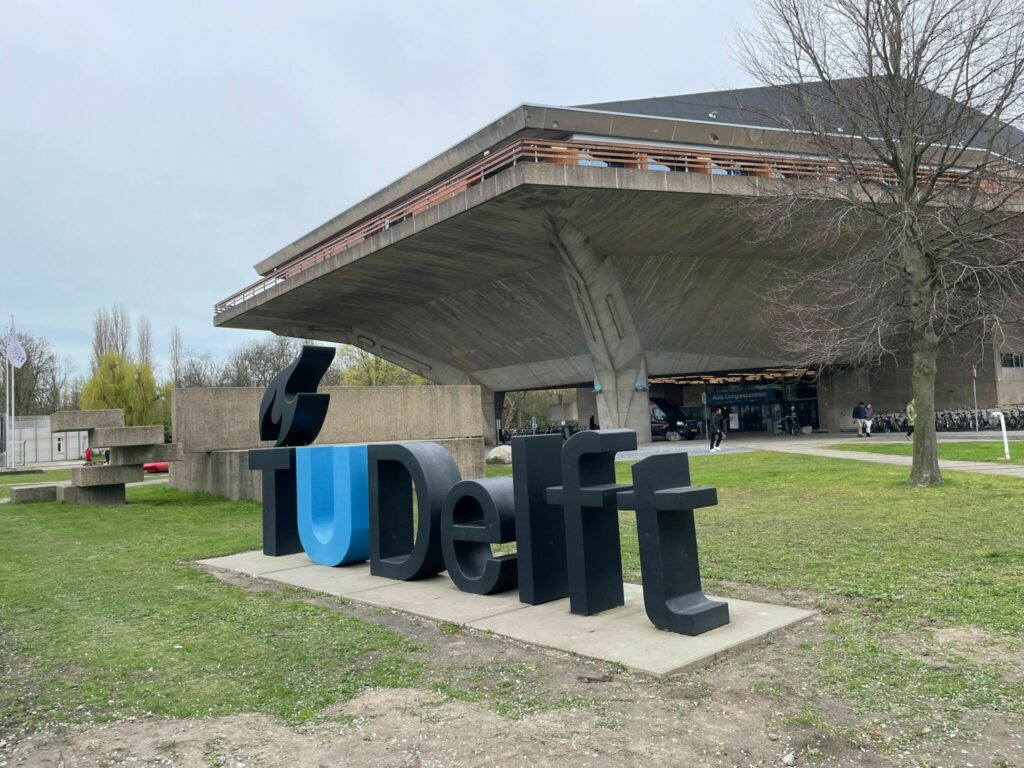
The overarching theme of the meeting was GeoBIM (Building Information Model). I was there in the context of the DIRECTED project to present an update regarding my standardization activies and to exchange ideas with colleagues from the Disaster and Emergency Management community. Another hot topic was Data Spaces.
Visualizing the Impact of Droughts on Crop Health and Production
52°North’s contribution to the OGC Disaster Pilot 2023
Climate change is increasing the likelihood of natural disasters and their severe environmental and social consequences worldwide. This is why preparedness for such events is becoming increasingly important. The objective of the Open Geospatial Consortium’s Disaster Pilot 2023 [1] was to provide first responders and decision makers with tools to enable them to better prepare for and respond to hazardous situations. The availability of decision-ready data was addressed as a key element of preparedness.
- 1
- 2
- 3
- …
- 6
- Next Page »