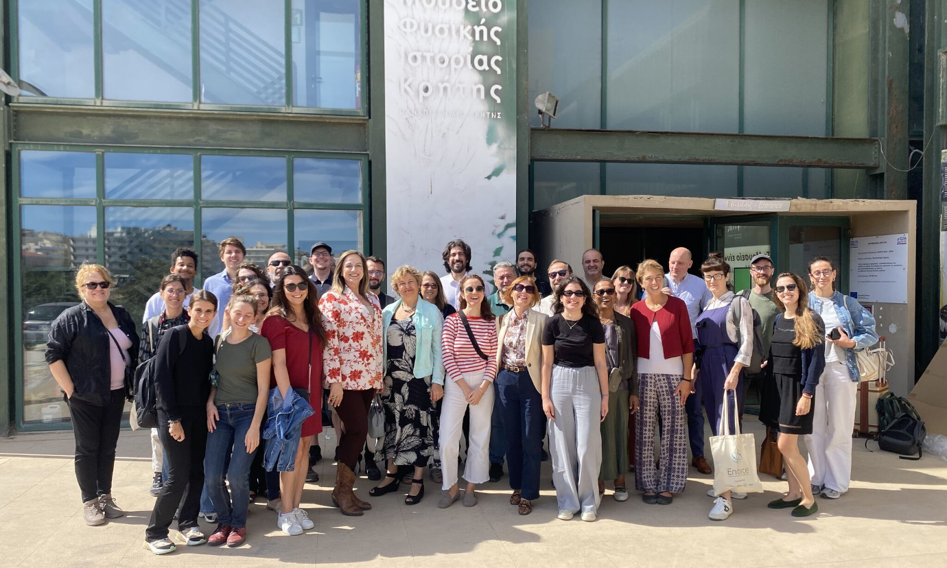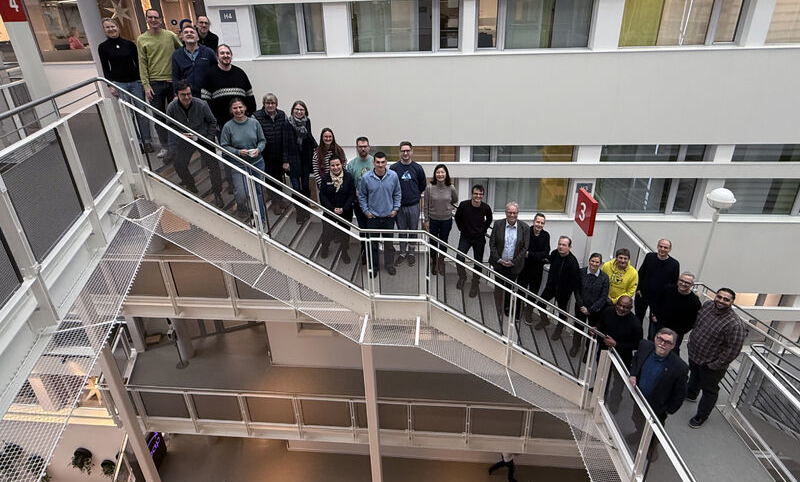
Atrai Bikes is revolutionizing urban safety and sustainability through an innovative senseBox:bike that captures environmental and traffic data. This citizen science initiative equips participants with tools to measure fine dust levels, temperature, and humidity while utilizing AI to predict vehicle passing maneuvers and road surfaces. A recent workshop brought Atrai Bikes to life, where participants were handed a senseBox:bike and guided through the setup of both the hardware and companion app. 52°North accompanied this workshop held in Germany’s unofficial biking capital city Münster with their project partners re:edu, also located in Münster, and Instituto Cordial from Brazil.
Cloud Native OGC SensorThings API: GSoC Final Blog
Introduction
Hello everyone,
It’s been a long while since my last blog post, and indeed so. I am excited to share that my GSoC 2024 project of developing an open, interoperable and cloud native OGC SensorThings API has finally seen the light! It’s been an incredible journey of 20 weeks filled with ups and downs, but as the saying goes, all’s well that ends well.
Continuing from my mid term blog post, I had ‘evaluated’ the libraries, tools and frameworks to use for implementing the end-to-end cloud native persistence layer. However, as I proceeded with using some of these tools, it became apparent that I will have to change gears and look for alternative options. More on it, below.
enviroCar: Mapbox to MapLibre migration – GSoC Final Blog Post
Introduction
The “enviroCar: Mapbox to MapLibre migration” project under Google Summer of Code 2024 aims to enhance the enviroCar Android application by adding support for multiple map providers, primarily focusing on MapLibre. The introduction of a new extensible and independent map module offers several key benefits:
- Risk Mitigation: Reduce dependency on a single provider, mitigating risks from policy changes or price hikes.
- Customization: Users and developers can choose their preferred map provider.
- Enhanced Coverage: Different providers may offer better coverage in specific areas.
- Increased Reliability: Ensure continuous service by switching providers if one fails.
The newly introduced map module allows users to select their preferred map provider and style, both during compile-time and run-time of the application. You may refer to my earlier introductory or mid-term blog posts for more information regarding this project. This final blog post covers the overall progress made during the coding period.
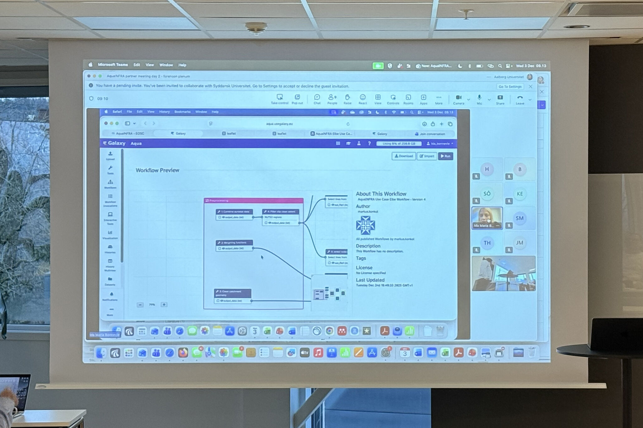
The AquaINFRA Virtual Research Environment : Design rationale for using the Galaxy platform
AquaINFRA
The overarching goal of the EU-funded AquaINFRA project is to design and implement a research data infrastructure to assist scientists from the aquatic realm in restoring healthy oceans, rivers, and lakes. The key components of the infrastructure are the Data Discovery and Access Service (DDAS) as the backend, the AquaINFRA Interaction Platform (AIP) as the central gateway to the project and search interface, and the Virtual Research Environment (VRE). In addition, several researchers in the project work on case studies to demonstrate the usefulness and benefits of FAIR and open data organized in such an infrastructure.
In this blog post, I describe the design rationale for using the Galaxy platform as the central (and currently only) component of the VRE. I will briefly summarize the needs defined in the AquaINFRA proposal, show how Galaxy can address these requirements, and outline challenges and limitations that come with the Galaxy platform.
- 1
- 2
- 3
- …
- 52
- Next Page »