In this Google Summer of Code 2020 project, we propose to build a new Web Processing Service (WPS) client named wps-js-ng written in the Angular 9 framework with module classes written in typescript. It will be an extension to the 52°North’s wps-js project, which provides encoding and parsing of the basic WPS Requests/Response (such as GetCapabilities, DescribeProcess, Execute, GetStatus and GetResult). This new client will conform to the latest OGC WPS 2.0 standards and is mainly targeted for clients using Angular programming language, who can simply import the library and have all the model classes and modules generated by running simple angular commands.
Access environmental time series data in R
With EGU 2020 cancelled, this blog post elaborates on the abstract submitted by the 52°North software project sos4R development team. See the program entry for the abstract EGU2020-19453 in the official program. Please refer to this work by citing the DOI https://doi.org/10.5194/egusphere-egu2020-19453.
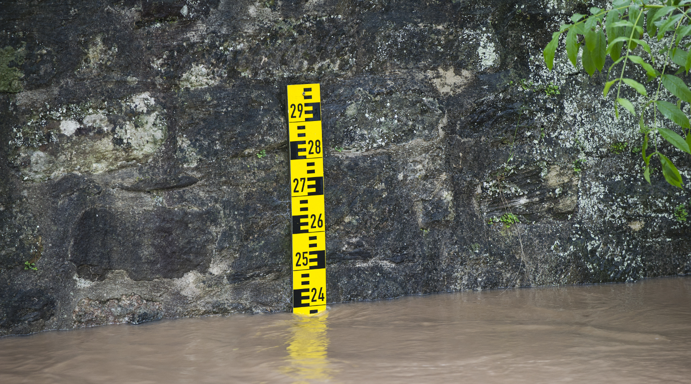
Accessing environmental time series data in R from Sensor Observation Services with ease
Introduction
Time series data of in-situ measurements are the key to many environmental studies. The first challenge in any analysis typically arises when the data needs to be imported into the analysis framework. Standardization is one way to lighten this burden. Unfortunately, relevant interoperability standards might be challenging for non-IT experts as long as they are not dealt with behind the scenes of a client application. One standard to provide access to environmental time series data is the Sensor Observation Service (SOS) specification published by the Open Geospatial Consortium (OGC). SOS instances are currently used in a broad range of applications such as hydrology, air quality monitoring, and ocean sciences. Data sets provided via an SOS interface can be found around the globe from Europe to New Zealand.
The R package sos4R (Nüst et al., 2011) is an extension package for the R environment for statistical computing and visualization, which has been demonstrated as a powerful tool for conducting and communicating geospatial research (cf. Pebesma et al., 2012). The features presented in this article are available in the new release version 0.4 on CRAN.more >
Plain GPS based recording for enviroCar – Mid Term Blog Post
Introduction
Currently, the Android application for enviroCar can record tracks only when it is connected to the OBD-II adapter through Bluetooth. The enviroCar app will be of no use to the user, if he/she does not have a working OBD-II adapter or if Bluetooth is not working on the user’s mobile phone. This limits the usage of the app to a great extent. The main goal of this project is to add plain GPS based recording of a track in the enviroCar Android application. This will increase the usability of the enviroCar app and simultaneously increase the collection of data in the enviroCar server, which can be used to analyze traffic. It is also equally important to automate the GPS based track, for which Activity Recognition features can be used. more >
Plain GPS based recording for enviroCar – Introductory Blog Post
Currently, the Android application for enviroCar can record tracks only when it is connected to the OBD-II adapter through Bluetooth. What if the user does not have a working OBD-II adapter? What if Bluetooth is not working in user’s mobile phone? In both the cases, the enviroCar app will be of no use to the user. This limits the usage of the app to a great extent. In my Google Summer of Code 2018 project, I want to add plain GPS based recording of a track in the enviroCar Android application. This will increase the usability of the enviroCar app and simultaneously increase the collection of data in the enviroCar server, which can be used to analyze traffic.more >